Into the Clouds
We started up the Ira Spring Trail at 5:30 on a Tuesday evening in mid-August. Sixty-one degrees and overcast — my kind of weather. The I-90 corridor was sitting under a flat gray lid and the parking lot was half-empty. Most people had come and gone, or looked at the sky and stayed home. Their loss.
The trail climbs hard from the start — switchbacks through second-growth forest, the tread worn smooth by years of weekend boots. Bandera is one of the most popular hikes off I-90, but on a drizzly Tuesday evening we had the whole mountain to ourselves. The air was heavy with wet cedar and duff and the particular smell of a forest that's been soaking all day. I trotted ahead, nose working overtime. Mist on my fur. Cool ground under my paws. No complaints.
By 3,000 feet the clouds had swallowed us. The trail broke out of the trees briefly at a viewpoint — enough to see the valley below dissolving into gray, ridgelines ghosting in and out. I stood on the wide trail and looked out at the nothing. Honestly, it was beautiful. Not every mountain has to perform for you. The fog had its own smell — clean, close, alive. I breathed it in deep and held it. Some of my favorite moments happen when there's nothing to see and everything to feel.
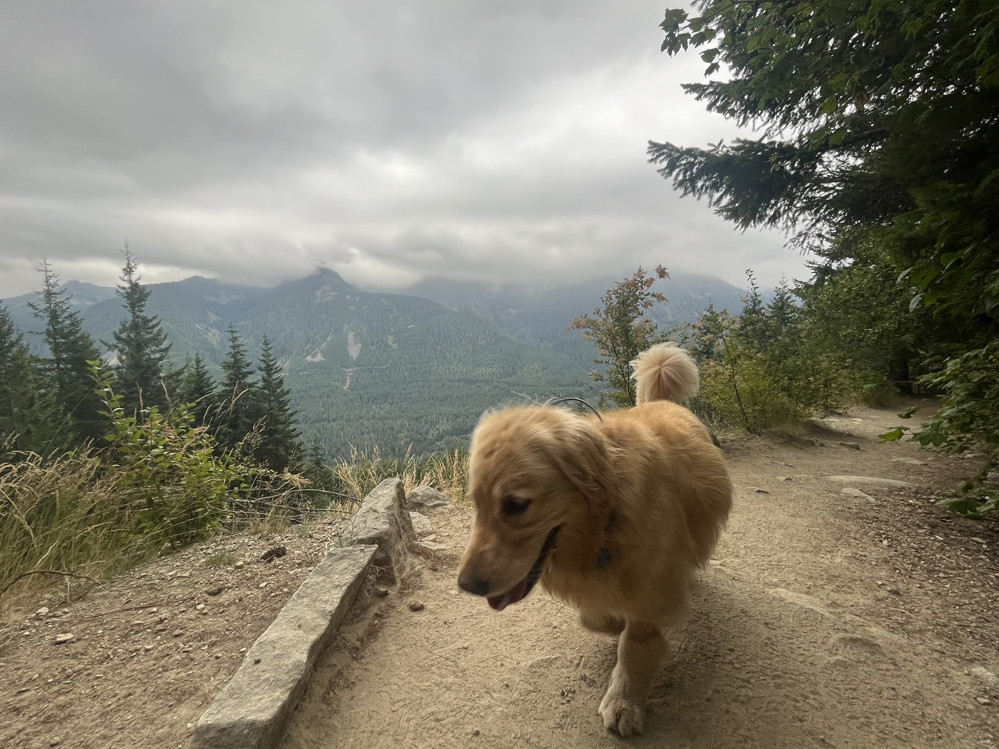
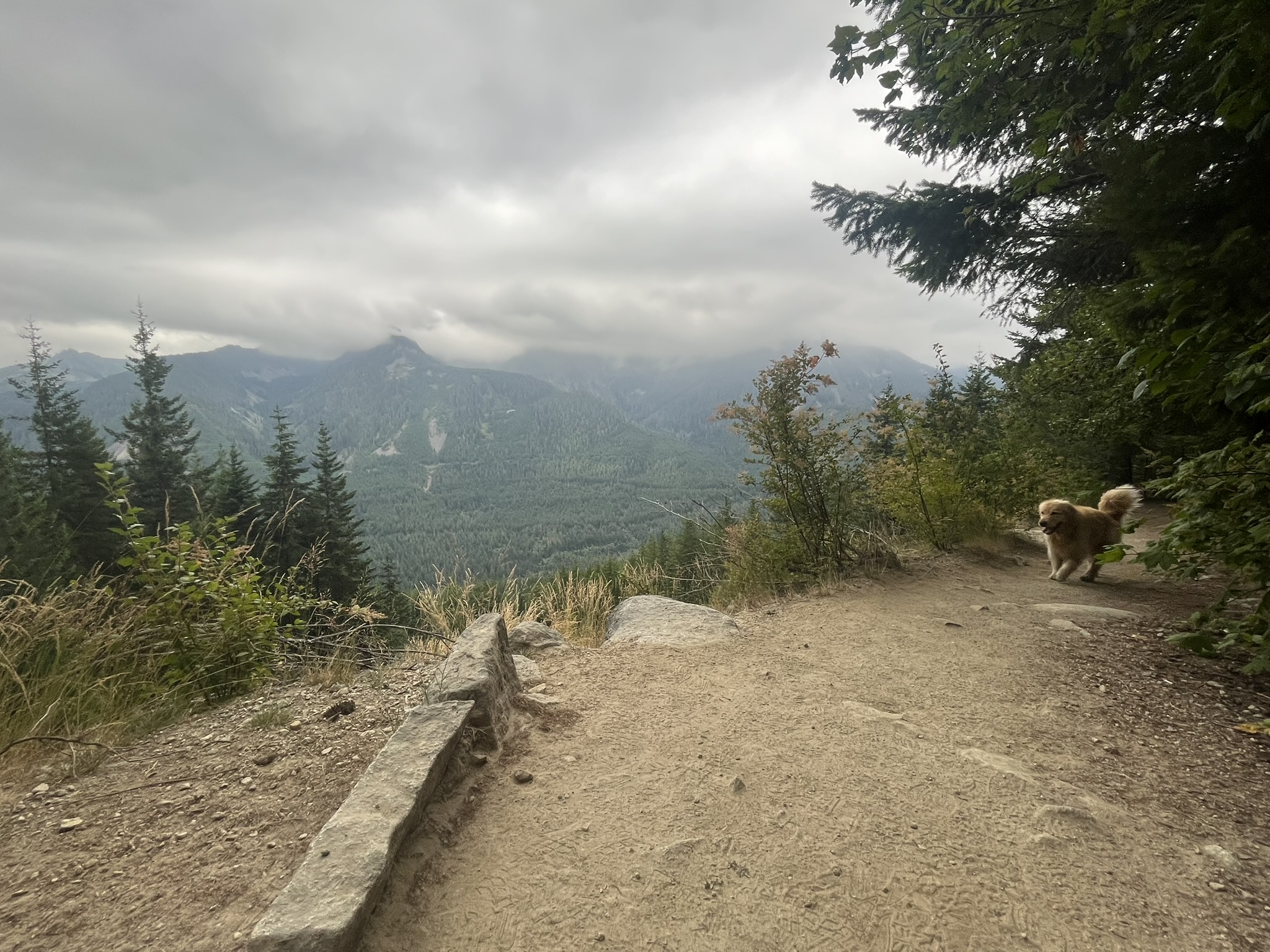
We kept pushing. Above the Mason Lake junction the switchbacks tightened and the forest thinned to subalpine scrub. We made it to the upper viewpoint where the maintained trail ends — the true summit needs a bushwhack through thick brush, and in the rain and fog there was nothing on the other side worth bushwhacking for. No Rainier. No Alpine Lakes peaks. Just gray in every direction and wet rock. My human and I had done the true summit years ago when I was a puppy and still had something to prove. Tonight we turned around. Smart.
The Way Down
The descent went fast. The drizzle picked up around 4,000 feet — not real rain, just a steady mist that soaked everything slowly. I didn't mind. I found every puddle and creek crossing on the trail and stepped into each one deliberately. The water was running cold and silty and tasted like mountain. By the time we hit the forest road at the bottom I was drenched from ears to tail, my coat dark with water, and I felt absolutely fantastic about it.
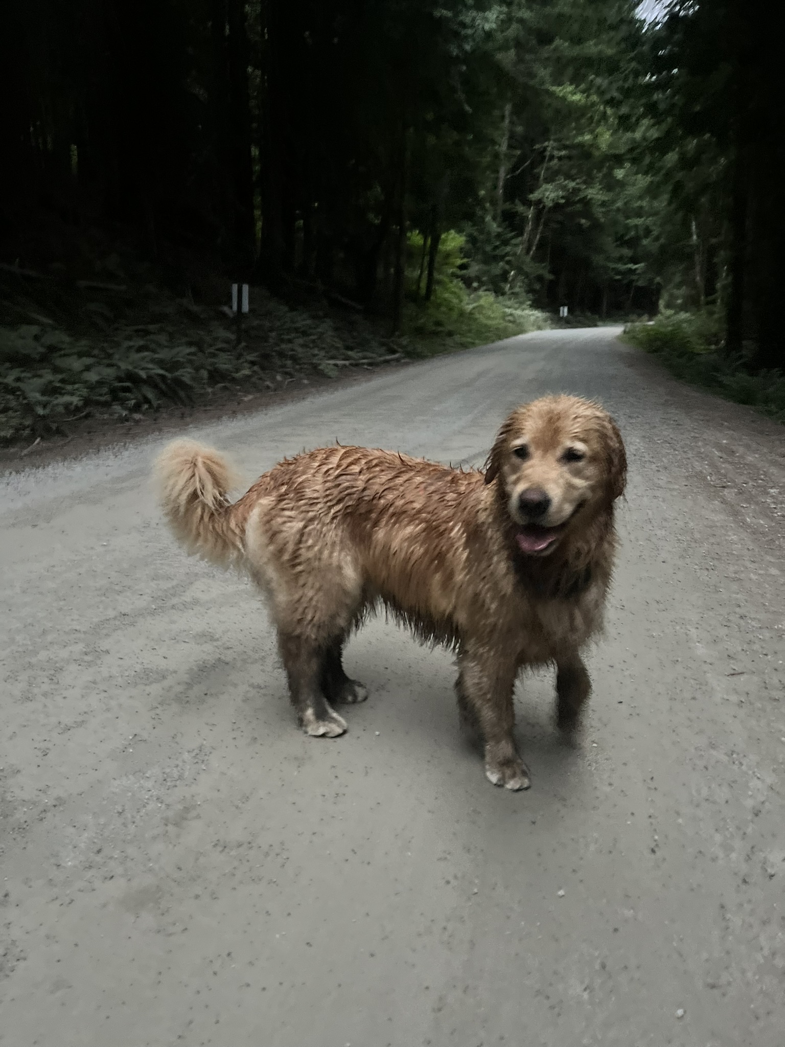
Back at the car by 8:30 PM. Three hours round trip. No views, no drama, just wet fur and 3,500 feet of vertical in the clouds. Sometimes that's the whole point. You go up. You come down. You get in the car smelling like rain and forest and satisfaction. My human put a towel on the back seat. I ignored it. He shook his head but he was smiling. He always is.